
Explore the conversation.
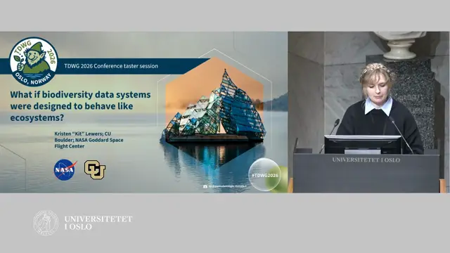
What if biodiversity data systems were designed to behave like ecosystems?
Biodiversity information systems should be designed like ecosystems: loosely coupled, event-driven components linked by shared standards, able to reorganise as conditions change.
Kit Lewers ↗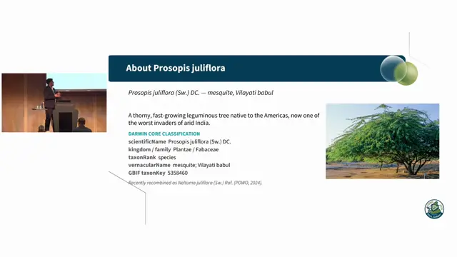
From satellite embeddings to Darwin Core: an open, ensemble-AI workflow for Prosopis juliflora mapping and reusable training-dataset generation
Satellite embeddings plus hyperspectral signatures and ground validation can map invasive Prosopis at scale and generate reusable, attributable training data.
Pranav Jha ↗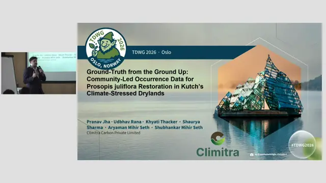
Ground-Truth from the Ground Up: Community-Led Occurrence Data for Prosopis juliflora Restoration in Kutch's Climate-Stressed Drylands
Community ground-truthing through voice-based, local-language tools makes satellite invasive-species maps reliable and restoration locally owned.
Pranav Jha ↗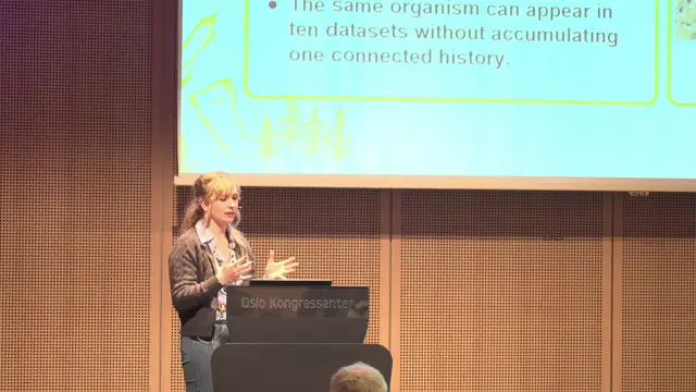
From Sensor to Species: AI-Assisted Segmentation, Deep Learning Workflows, and Persistent Biodiversity Records from Earth Observation Systems
Persistent organism identifiers for remotely sensed individual trees could turn repeat Earth-observation imagery into longitudinal biodiversity records, but only if uncertainty and model provenance travel with every record.
Kit Lewers ↗
The BMD Cubing Engine: Harmonizing Biodiversity and Earth Observation Data
BMD's cubing engine turns a declarative YAML recipe into reproducible, provenance-documented data cubes that harmonise GBIF occurrences with climate and Earth observation data on one grid.
Mathias Dillen ↗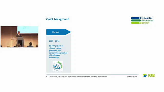
The FIPbio data portal: towards an integrated freshwater biodiversity data ecosystem
FIPbio aims to make freshwater data publishing and analysis easier by combining FADA taxonomy, GBIF occurrences, site context, abiotic and remote-sensing data, and automated catchment annotation.
Vanessa Bremerich ↗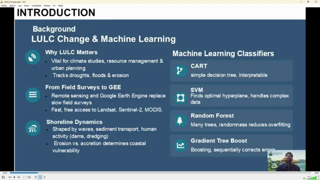
Evaluating Four Machine Learning Using Google Earth Engine for Analyzing LULC Dynamics of Sandwip Island, Bangladesh
Random Forest in Google Earth Engine gave the most accurate land cover classification of the highly dynamic Sandwip Island, revealing large increases in built-up area and mangroves alongside strong shoreline erosion and accretion.
Md Abrar Al Foysol ↗
Using Large Language Models to enhance biodiversity knowledge extraction: From taxonomic treatments to graph-based knowledge systems
Taxonomic treatments hold underused habitat knowledge that LLMs and a provenance-preserving knowledge graph can structure and link to ecoregions, helping map data-poor species.
Ian Ondo ↗