
Explore the conversation.
Future interfaces for BHL
Modern AI tools make new BHL interfaces feasible now (better OCR, image and map search, chatbots); the community must decide which are worth building.
Roderic Page ↗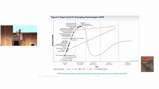
From Buzzwords to Blueprints: What It Really Takes to Operationalise Biodiversity Digital Twins
Use buzzwords to get funded, then break them down into concrete blueprints: metadata, catalogues, governance and stewardship in the middle layer.
Sharif Islam ↗
From NetCDF to Web Maps: Building an Open-Source Web GIS for Biodiversity Data Cubes
A simple open-source stack of NetCDF, THREDDS/ncWMS and vanilla JavaScript makes multidimensional biodiversity data cubes browsable and analysable in the browser.
Christian Langer ↗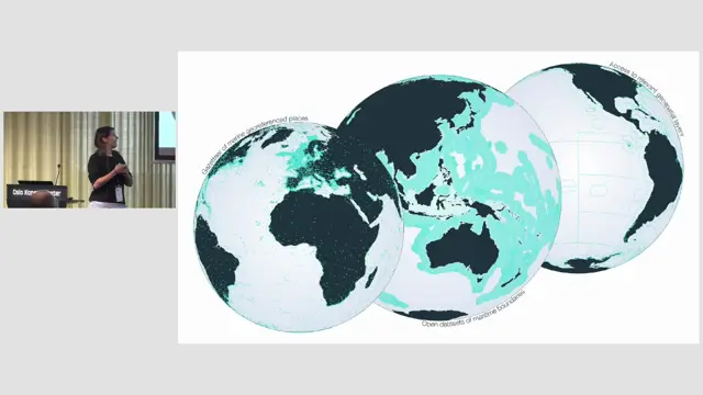
Marine Regions as a backbone for the TDWG Marine GeoScheme
Marine Regions supplies the identifiers, boundaries and hierarchy that make a marine geoscheme maintainable.
Britt Lonneville ↗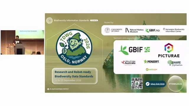
The BMD Cubing Engine: Harmonizing Biodiversity and Earth Observation Data
BMD's cubing engine turns a declarative YAML recipe into reproducible, provenance-documented data cubes that harmonise GBIF occurrences with climate and Earth observation data on one grid.
Mathias Dillen ↗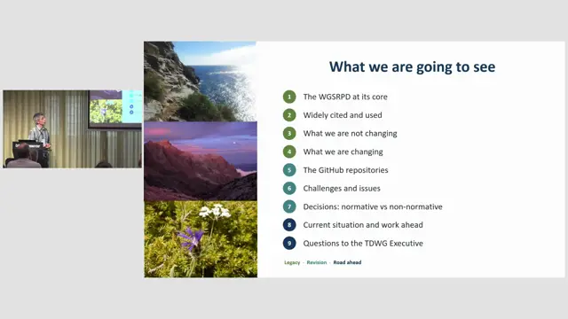
The new World Geographical Scheme for Recording (not only) Plant Distributions: process, progress and challenges
The terrestrial update is complete and the standard is nearly ready for public review, with packaging, naming and polygon hosting still to decide.
Francisco Pando ↗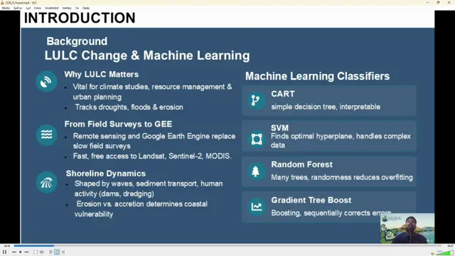
Evaluating Four Machine Learning Using Google Earth Engine for Analyzing LULC Dynamics of Sandwip Island, Bangladesh
Random Forest in Google Earth Engine gave the most accurate land cover classification of the highly dynamic Sandwip Island, revealing large increases in built-up area and mangroves alongside strong shoreline erosion and accretion.
Md Abrar Al Foysol ↗