
Ground-Truth from the Ground Up: Community-Led Occurrence Data for Prosopis juliflora Restoration in Kutch's Climate-Stressed Drylands
Pranav Jha · Community-Powered, Research-Ready: Citizen Science for a Digital Future
The short versionCommunity ground-truthing through voice-based, local-language tools makes satellite invasive-species maps reliable and restoration locally owned.
What this was about
Pranav Jha describes Climitra's geospatial mapping of the invasive Prosopis juliflora in Kutch, Gujarat, which was planted from 1961 to hold back the desert and has spread to about 1.1 million hectares, depleting groundwater and raising soil salinity. Communities living with the invasion act as primary data producers through local-language voice agents and simple forms, confirming and correcting satellite classifier maps from geo foundation models in a loop that removes false positives. Locals are paid through restoration livelihoods, supported by a government mandate to remove the species.
Why it matters. It demonstrates inclusive data collection for low-literacy communities and links citizen data directly to large-scale restoration.
In the room
- Prosopis juliflora is among IUCN's top invasive species; introduced in 1961 on about 31,000 ha and now covering about 1.1 million ha.
- The species kills native vegetation, depletes groundwater and raises soil salinity; it is spreading across India's agroclimatic zones.
- Classifier maps built with geo foundation models over a region larger than Sweden.
- Voice agents in local languages and simple forms ("analog front end, digital back end") for largely illiterate communities.
- Ground truths feed a loop of satellite confirmation, false-positive removal and hotspot benchmarking.
- Datasets being prepared with Google for inclusion in Google Earth.
Notable moments
Transcript
Automatically generated captions can contain mistakes, especially in names and technical terms. Times are relative to the room recording.
Read the transcript ↓
Related talks.
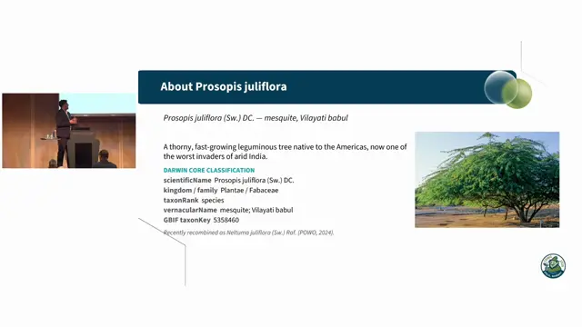
From satellite embeddings to Darwin Core: an open, ensemble-AI workflow for Prosopis juliflora mapping and reusable training-dataset generation
Satellite embeddings plus hyperspectral signatures and ground validation can map invasive Prosopis at scale and generate reusable, attributable training data.
From Sensor to Species: AI-Assisted Segmentation, Deep Learning Workflows, and Persistent Biodiversity Records from Earth Observation Systems
Persistent organism identifiers for remotely sensed individual trees could turn repeat Earth-observation imagery into longitudinal biodiversity records, but only if uncertainty and model provenance travel with every record.
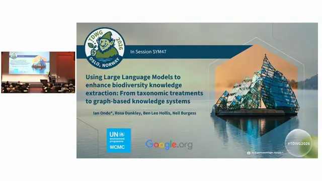
Using Large Language Models to enhance biodiversity knowledge extraction: From taxonomic treatments to graph-based knowledge systems
Taxonomic treatments hold underused habitat knowledge that LLMs and a provenance-preserving knowledge graph can structure and link to ecoregions, helping map data-poor species.