
Evaluating Four Machine Learning Using Google Earth Engine for Analyzing LULC Dynamics of Sandwip Island, Bangladesh
Md Abrar Al Foysol · AI Driven Monitoring and Species Identification
The short versionRandom Forest in Google Earth Engine gave the most accurate land cover classification of the highly dynamic Sandwip Island, revealing large increases in built-up area and mangroves alongside strong shoreline erosion and accretion.
What this was about
In a pre-recorded talk, Md Abrar Al Foysol presented a study of shoreline and land use/land cover change on Sandwip Island in Bangladesh's dynamic Ganges-Brahmaputra-Meghna delta. Shoreline change from 1995 to 2025 was analysed with DSAS in ArcGIS, and land cover from 2000 to 2024/25 was classified in Google Earth Engine with CART, SVM, Random Forest and Gradient Tree Boost, assessed against 140 ground-truth points. Random Forest performed best (93.57% overall accuracy), and results show strong erosion and accretion, a large increase in built-up area and mangroves, and a decrease in barren land.
Why it matters. It shows how freely available satellite imagery and cloud-based machine learning can be used to monitor rapidly changing, understudied coastal environments and to compare classifier performance for such tasks.
In the room
- Sandwip Island is shaped by heavy sediment loads, continuous erosion and accretion, and pressures from population growth, infrastructure, climate change and aquaculture, yet is understudied.
- Landsat and Sentinel-2 imagery were used; shorelines were extracted in ArcGIS and DSAS used to compute EPR, NSM and LRR.
- Onshore shoreline EPR ranged from -160.5 to +203.3 m/yr and offshore from -245.2 to +572.9 m/yr.
- CART showed more mixed pixels, SVM some overgeneralisation, Random Forest the cleanest map with GBT close behind; SVM was best for built-up areas.
- Overall accuracy with 140 ground-truth points (20 per class, seven classes): RF 93.57%, GBT 92.14%, SVM 90%, CART 87.14%.
- Built-up area rose from about 18.1 to 60 km2 (2000-2024), barren land fell from about 101.1 to 23.5 km2, and mangroves rose from about 17.7 to 27.4 km2.
- Accretion occurred mainly in the east and southeast, erosion in the west.
Notable moments
Transcript
Automatically generated captions can contain mistakes, especially in names and technical terms. Times are relative to the room recording.
Read the transcript ↓
Related talks.
From satellite embeddings to Darwin Core: an open, ensemble-AI workflow for Prosopis juliflora mapping and reusable training-dataset generation
Satellite embeddings plus hyperspectral signatures and ground validation can map invasive Prosopis at scale and generate reusable, attributable training data.

From Sensor to Species: AI-Assisted Segmentation, Deep Learning Workflows, and Persistent Biodiversity Records from Earth Observation Systems
Persistent organism identifiers for remotely sensed individual trees could turn repeat Earth-observation imagery into longitudinal biodiversity records, but only if uncertainty and model provenance travel with every record.
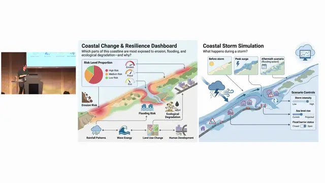
Beyond Data Integration: Ecological and Semantic Interoperability in Coastal Digital Twins
Coastal digital twins expose a long list of unresolved land-sea interoperability gaps, from vertical datums and shifting shorelines to missing cross-domain ontologies.