
From satellite embeddings to Darwin Core: an open, ensemble-AI workflow for Prosopis juliflora mapping and reusable training-dataset generation
Pranav Jha · Responsible AI, Open Digital Curation, and Round-Tripping for Biodiversity Data
The short versionSatellite embeddings plus hyperspectral signatures and ground validation can map invasive Prosopis at scale and generate reusable, attributable training data.
What this was about
Pranav Jha described mapping the invasive Prosopis juliflora (Neltuma juliflora) across India, especially about 1.1 million hectares in Kutch, Gujarat, using satellite data and geospatial foundation model embeddings. The workflow combines Sentinel, hyperspectral and NISAR radar data with ground truthing, AlphaEarth embeddings, NDVI and slope checks, reaching about 91% accuracy, and uses 3 m hyperspectral signatures to distinguish Prosopis from similar natives. Ground teams validate predicted clusters through drop, curation and refined zones to build reusable training datasets, and the model is being extended to Lantana camara and mangroves.
Why it matters. Links remote sensing AI to biodiversity data reuse, with a focus on transparent, reusable evidence for invasive species management.
In the room
- Prosopis juliflora is among IUCN's top invasive species and has spread across APAC and sub-Saharan Africa; in Kutch it covers about 1.1 million hectares, harming native species and pastoral communities, and has spread to 20+ agroclimatic zones.
- Satellite mapping is needed to understand invasion at scale, over time (multi-date imagery), where to look next and what it displaces.
- Density is mapped at 10 m resolution to guide ground teams to hotspots.
- Inputs: Sentinel, hyperspectral (e.g. AVIRIS and others), NISAR SAR data and ground truth; AlphaEarth geospatial foundation model embeddings train a classifier, followed by NDVI and slope/elevation checks.
- Current accuracy about 91%; working with Google DeepMind to include it in Google Earth.
- Prosopis resembles native Prosopis cineraria and acacias; 3 m hyperspectral spectroscopy separates them.
- Ground workflow of drop, curating and refined zones produces reusable datasets; goal is transparent, attributable, reusable evidence.
Notable moments
Transcript
Automatically generated captions can contain mistakes, especially in names and technical terms. Times are relative to the room recording.
Read the transcript ↓
Related talks.
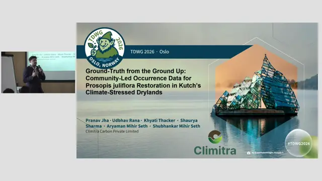
Ground-Truth from the Ground Up: Community-Led Occurrence Data for Prosopis juliflora Restoration in Kutch's Climate-Stressed Drylands
Community ground-truthing through voice-based, local-language tools makes satellite invasive-species maps reliable and restoration locally owned.
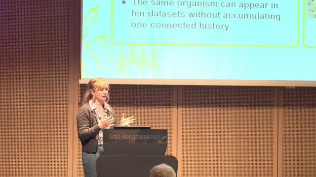
From Sensor to Species: AI-Assisted Segmentation, Deep Learning Workflows, and Persistent Biodiversity Records from Earth Observation Systems
Persistent organism identifiers for remotely sensed individual trees could turn repeat Earth-observation imagery into longitudinal biodiversity records, but only if uncertainty and model provenance travel with every record.
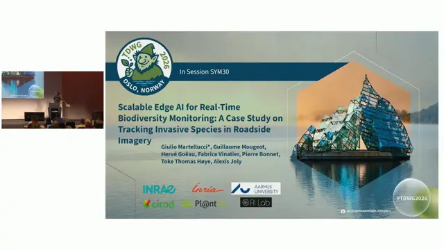
Scalable Edge AI for Real-Time Biodiversity Monitoring: tracking invasive plant species in roadside imagery
Distilling a tiling-based plant identifier into a single ConvNeXt model makes high-resolution roadside invasive-species monitoring fast, cheap and more accurate.