
Explore the conversation.
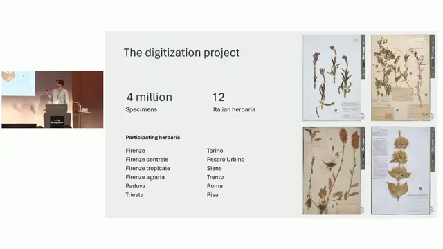
AI-assisted georeferencing a posteriori of herbarium specimens: a case study on Italian herbaria
Combining LLM parsing and LLM judging with gazetteers more than doubles correct georeferences for historical herbarium localities compared with Google Maps, even with a local model.
Matteo Conti ↗
A collaborative perspective on a globally standardised river basin name database
Freshwater biodiversity data need a global, multilingual, collaboratively maintained river basin naming system, and TDWG, Wikidata and OpenStreetMap could build it together.
Daniel Mietchen ↗
Digitising Plant and Fungal Collections at Royal Botanic Gardens, Kew: Applying International Standards to Support Data Sharing and Geospatial Analysis
WGSRPD enables cross-collection geospatial analysis at Kew, but historical, heterogeneous data leave half of records without fine-level assignment.
Udayangani Liu ↗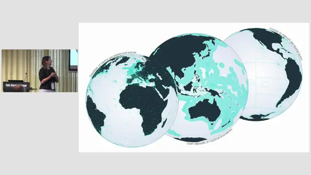
Marine Regions as a backbone for the TDWG Marine GeoScheme
Marine Regions supplies the identifiers, boundaries and hierarchy that make a marine geoscheme maintainable.
Britt Lonneville ↗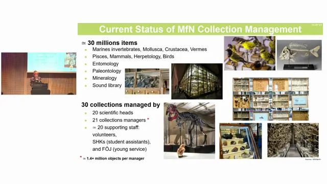
The Good, the Bad, and the Standardised: A Specify Journey Through 200 Years of the MfN Berlin's Biological Collections
Specify's flexibility lets MfN consolidate 30 historically complex collections into one database while starting to reconstruct colonial and wartime history, but geography and historical events remain unsolved.
Marion Depraetere ↗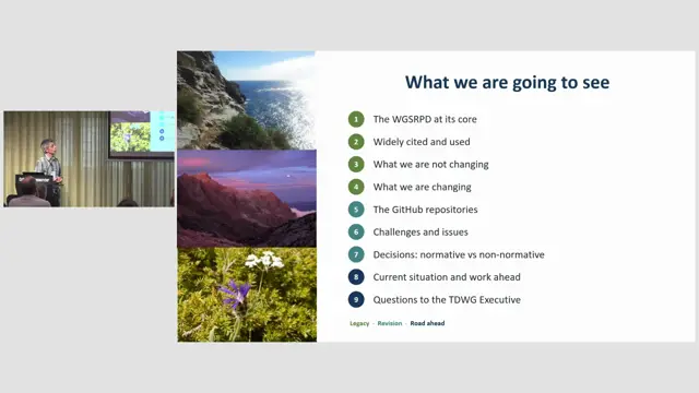
The new World Geographical Scheme for Recording (not only) Plant Distributions: process, progress and challenges
The terrestrial update is complete and the standard is nearly ready for public review, with packaging, naming and polygon hosting still to decide.
Francisco Pando ↗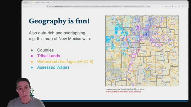
The Unruliness of Higher Geography: What is it doing for us?
Darwin Core needs more explicit, time-aware ways to share human and physical geography so data without coordinates can still be discovered and used.
Erica Krimmel ↗