
Marine Regions as a backbone for the TDWG Marine GeoScheme
Britt Lonneville · From WDSRPD to GeoSchemes: Recording Biodiversity Distributions for Science and Policy
The short versionMarine Regions supplies the identifiers, boundaries and hierarchy that make a marine geoscheme maintainable.
What this was about
Britt Lonneville introduced Marine Regions as the backbone for the marine geoscheme: a gazetteer of nearly 65,000 marine places with persistent MRGIDs, taken from authoritative sources and hierarchically related, openly licensed maritime boundary datasets digitised from UNCLOS legislation, and other geospatial layers such as IHO S-23 sea areas and MEOW. Marine Regions provides base data to the task group, works on development and standardisation with WoRMS, and will host and maintain the resulting units.
Why it matters. A persistent, maintained gazetteer is what makes geographic standards usable and updatable over time.
In the room
- Three pillars: a gazetteer, open maritime boundary datasets, and relevant geospatial layers.
- The gazetteer is the geographic counterpart to WoRMS, with nearly 65,000 features and MRGID identifiers.
- Names come from authoritative sources (WGSRPD, MEOW, GEBCO, national gazetteers), mapped to one identifier.
- Parent-child relations allow hierarchies, including alternative parents.
- EEZs and other UNCLOS zones are digitised from legislation under CC BY and updated for new legislation, rulings and feedback.
- Final GeoScheme units will be added to the gazetteer and available for download.
Notable moments
Transcript
Automatically generated captions can contain mistakes, especially in names and technical terms. Times are relative to the room recording.
Read the transcript ↓
Related talks.
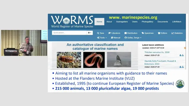
Mapping geographical distributions in the World Register of Marine Species
A country-aware, hierarchical marine geoscheme will let WoRMS and others record and query distributions consistently, pending a solution for defining spatial units in a TDWG standard.
A collaborative perspective on a globally standardised river basin name database
Freshwater biodiversity data need a global, multilingual, collaboratively maintained river basin naming system, and TDWG, Wikidata and OpenStreetMap could build it together.
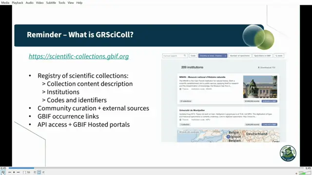
The Latimer Core standard and the Global Registry of Scientific Collections
Latimer Core gives GRSciColl a common language and exchange format for describing collections between free text and specimen records.