
Explore the conversation.
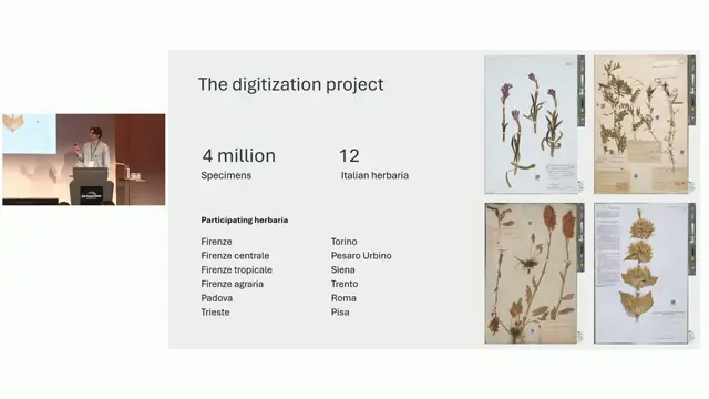
AI-assisted georeferencing a posteriori of herbarium specimens: a case study on Italian herbaria
Combining LLM parsing and LLM judging with gazetteers more than doubles correct georeferences for historical herbarium localities compared with Google Maps, even with a local model.
Matteo Conti ↗
Geonomia: Metadata and Community for Georeferencing
Clustering specimens into collecting trips makes georeferencing and AI enrichment more efficient and should be done as a community effort.
Nicky Nicolson ↗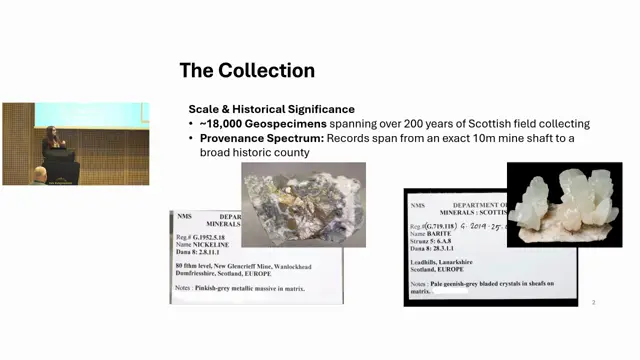
Improving geospecimen provenance and findability in the National Museums Scotland Scottish mineral collection
A scripted, reviewable workflow can quickly reconcile legacy mineral records and enrich them with Mindat coordinates, while giving data back to the community resource.
Sarah Stewart ↗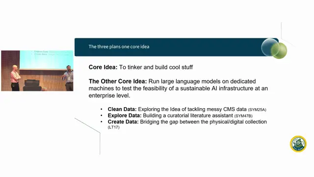
On-Device AI for Data Cleaning, Standardisation, and Exploration in Collections Management
Local LLM hardware can clean and enrich millions of legacy collection records at predictable cost, but validation of the outputs is the unsolved problem.
Jack Hollister, Unidentified co-presenter ↗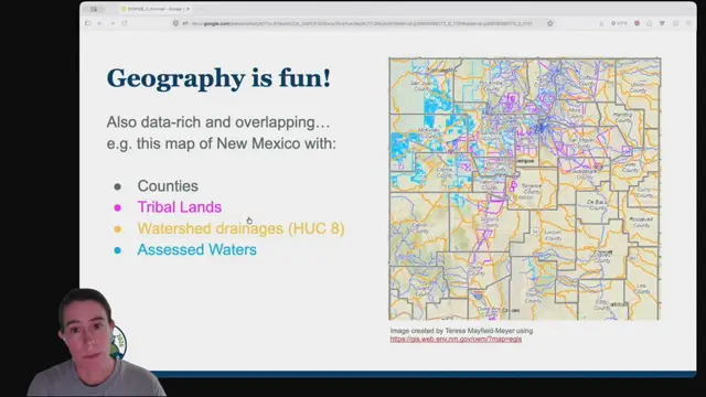
The Unruliness of Higher Geography: What is it doing for us?
Darwin Core needs more explicit, time-aware ways to share human and physical geography so data without coordinates can still be discovered and used.
Erica Krimmel ↗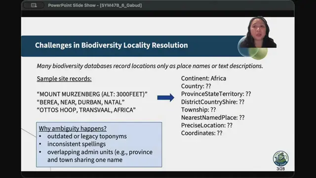
Enhancing Biodiversity Georeferencing Using Large Language Models and Knowledge Graphs
LLM preprocessing plus knowledge-base matching fills in locality hierarchies and proposes coordinates, with a review tool to keep humans in control.
Roselyn Gabud ↗