
Integrating advanced monitoring technologies for spatially explicit, ecosystem-based biodiversity conservation across diverse habitats in Saudi Arabia
Mohammad Zafarul Islam · AI Driven Monitoring and Species Identification
The short versionSaudi Arabia's network of 35 Biodiversity Protection Areas combines reintroductions, spatial risk mapping and satellite, camera-trap and drone monitoring to conserve species across very diverse ecosystems.
What this was about
Mohammad Zafarul Islam gave an overview of biodiversity monitoring and conservation across Saudi Arabia's 35 Biodiversity Protection Areas, spanning deserts, the southwestern highlands (a global biodiversity hotspot), wetlands, coasts and islands. He described reintroductions (Arabian oryx, red-necked ostrich as proxy for the extinct Arabian ostrich, sand gazelle), spatial tools such as a terrestrial heat map, desertification risk map, bird collision risk map and botanical range map, and tracking of houbara, eagles, vultures and sea turtles with satellite and VHF transmitters. He highlighted that the Arabian leopard has not been recorded in Saudi Arabia since 2014 despite over 500 camera traps, and that data are held in an internal portal with restricted sharing of sensitive species records.
Why it matters. It documents a large national monitoring effort in an under-represented region with major migratory flyways and threatened endemics, and raises the question of how such largely internal data could be mobilised through platforms like GBIF while protecting sensitive species.
In the room
- 35 Biodiversity Protection Areas were identified using criteria closely related to the IUCN protected area management system.
- The red-necked (North African) ostrich was reintroduced as a genetic proxy for the Arabian ostrich, whose last specimen was shot in 1968; oryx and sand gazelle were released in reserves such as Shaybah.
- Spatial products include a multi-taxon terrestrial heat map to target intensive research, a desertification risk map, a bird collision risk map shared with the electricity sector, and a grid-based botanical range map, plus coral and benthic habitat mapping.
- About 3 billion migratory birds pass through each year; power-line collisions affect large birds such as white storks.
- Fenced reserves can cause mortality when animals try to leave during multi-year droughts.
- Houbara bustards caught with trained saker falcons were fitted with satellite transmitters to map migration and stopover sites, which feed into international treaty efforts.
- Despite more than 500 camera traps producing millions of photos, the last Arabian leopard recorded in Saudi Arabia was in 2014; one sub-adult was killed by a poisoned carcass.
Notable moments
Transcript
Automatically generated captions can contain mistakes, especially in names and technical terms. Times are relative to the room recording.
Read the transcript ↓
Related talks.
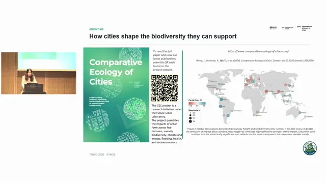
Reporting structure and sampling-bias correction in citizen-science bird data across Asian cities
Abundant citizen-science records do not guarantee inference support; reporting structure can distort richness hotspots and urban-biodiversity relationships unless it is diagnosed and controlled.
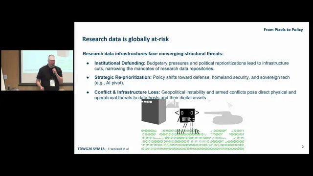
From Pixels to Policy: Closing the Gap between In Situ Monitoring, Earth Observation, and Policy Actionability
Packaging data with its semantics, provenance and machine-readable policy as FAIR Digital Objects makes it rescue-ready and redeployable elsewhere.
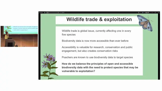
Using wildlife trade data to support proactive RASD decision-making
Wildlife trade data can act as an early warning system to protect species' locality data before formal conservation assessments catch up.